3D laser scanning
Detailed capture of complex structures, buildings, industrial and transport facilities.
Accurate spatial data for the design, reconstruction and restoration of bridges, industrial facilities, public buildings and other complex structures.
We perform 3D laser scanning, engineering geodetic surveys, dimensional surveys and as-built surveys, delivering materials suitable for the design team’s further work.
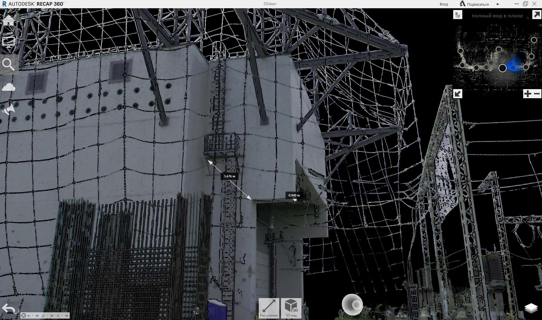
Detailed capture of complex structures, buildings, industrial and transport facilities.
Survey control for new construction, reconstruction, repair and strengthening.
Actual structural geometry, elevations, spatial position and control measurements.
Data for plans, elevations, sections, BIM/3D models and design verification.
Digital capture of existing conditions before assessment, restoration or reconstruction.
Setting-out, geometric control and as-built surveying during construction.