Land management documentation
Land-allotment projects, technical documentation, land inventory, subdivision and consolidation, easements, land-use changes, parcel formation and cadastral registration.
Learn more →Land management, geodesy, 3D laser scanning and UAV surveying for companies, design and construction firms, territorial communities and private clients.
We provide land management, geodetic, construction-support and spatial-data services for real project needs.
Land-allotment projects, technical documentation, land inventory, subdivision and consolidation, easements, land-use changes, parcel formation and cadastral registration.
Learn more →Field and office work for design, construction, reconstruction and engineering decision-making.
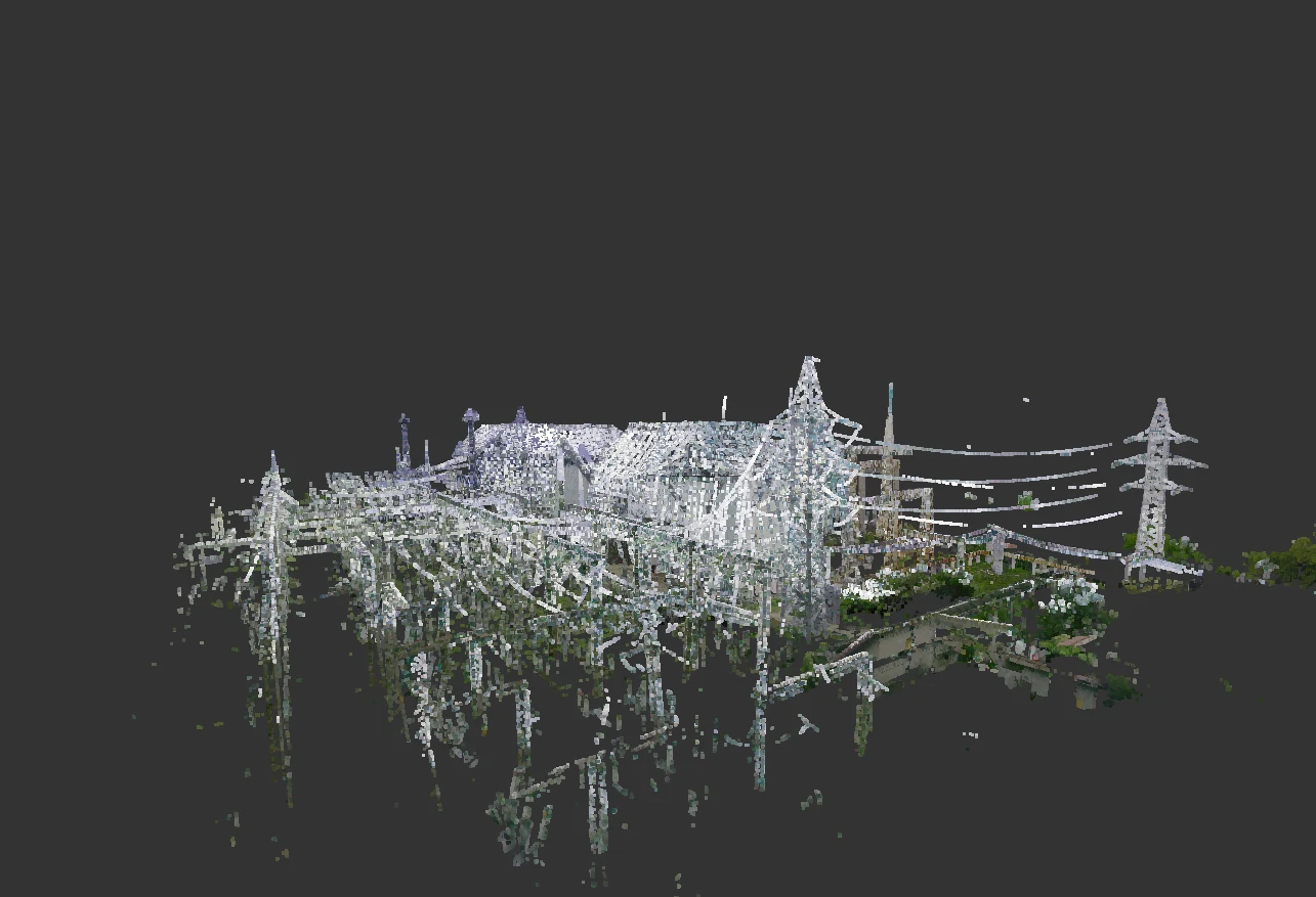
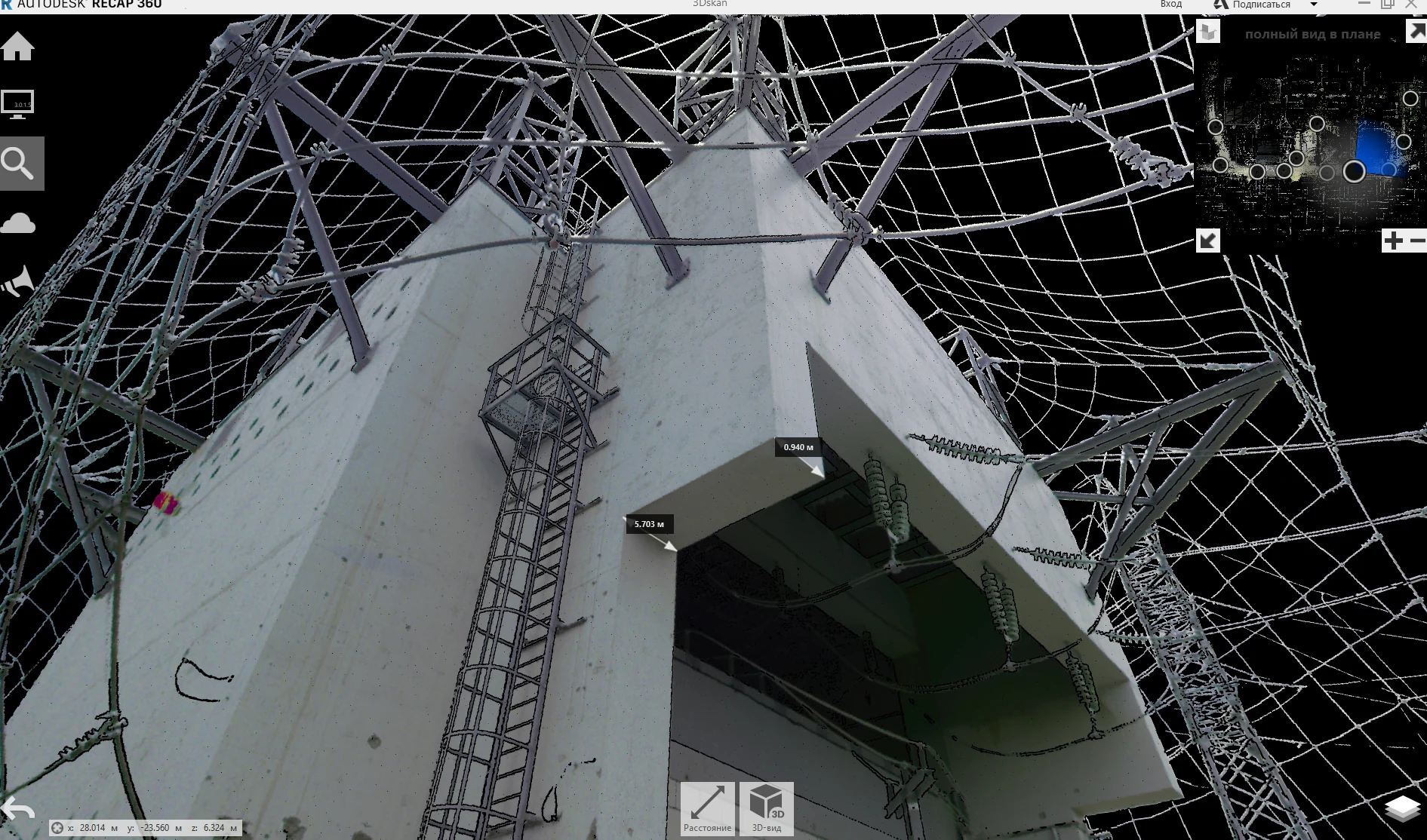
Learn more →High-accuracy spatial capture of buildings, structures, industrial and infrastructure facilities for measurement, reconstruction, control and design.
Learn more →Aerial surveys, orthophotos, digital terrain and surface models, 3D models and mapping materials.
Learn more →Survey control networks, setting-out, geometric control, as-built surveys and verification surveys for complex engineering facilities.
One of UGIC’s principal areas of work is preparing documentation for parcel formation, registration and land management.
Formation and registration of land parcels according to the client’s objective and legal basis.
Boundary establishment and restoration, subdivision, consolidation and other technical land documentation.
Survey and documentation for identifying, registering, forming and organizing land parcels and territories.
Parcel formation, preparation for state registration and assignment of a cadastral number.
Documentation for changes to parcel configuration and legally defined land-use rights.
Preparation of land documentation required to change the designated use of a parcel.
Geodetic and digital services for design, construction, reconstruction and object assessment.
Topographic plans for design, construction, reconstruction and approval of engineering solutions.
Verification of the actual position of structures, utilities and other project elements.
Spatial capture of the current condition for assessment, restoration and reconstruction.
Terrain and surface models generated from ground surveying and UAV data.
Integrated documentation: water-body passport, land documentation, normative monetary valuation and cadastral registration.
Modern spatial-data acquisition for territories, buildings, structures and infrastructure.
We carry out geodetic, engineering and land-management work for companies, institutions, organizations and territorial communities.