
Orthophoto
Accurate georeferenced imagery for analysis, inventory, design and mapping.
UAV surveys of settlements, agricultural land, roads, water bodies and infrastructure with georeferenced outputs.
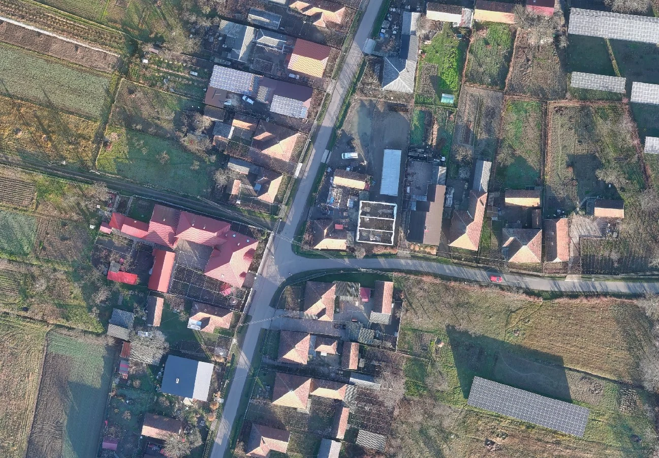
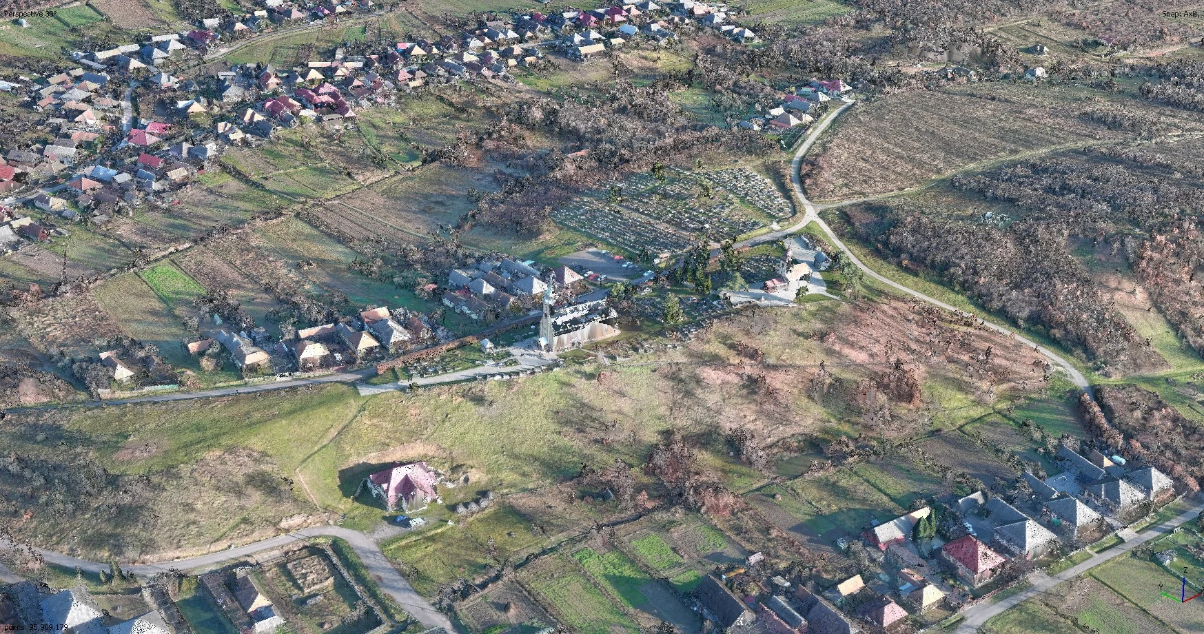
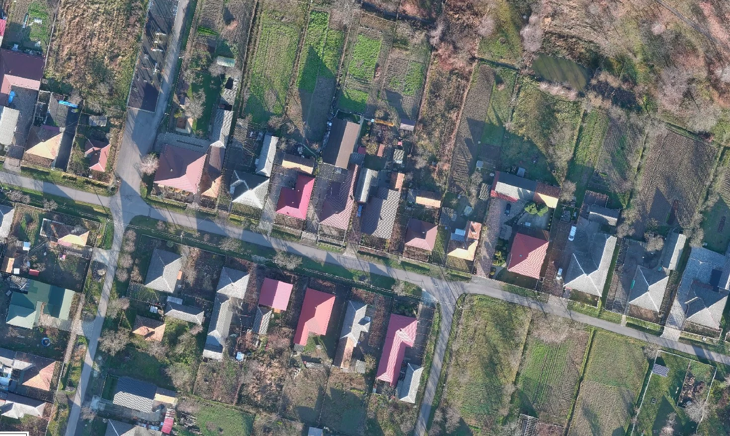
Accurate georeferenced imagery for analysis, inventory, design and mapping.
Spatial models for elevation, slope, drainage and planning analysis.
Clear visualization of buildings, terrain and infrastructure.
Current spatial information on roads, land parcels, development, water bodies and other territorial features.